Sea ice extent in the Bering Sea has been up and down this spring. But within the last two weeks, sea ice models show a collapse of conditions.
Daily sea ice extent hit its maximum for the season on Feb. 25 and declined into mid-March, according to the National Snow and Ice Data Center, or NSIDC. But then sea ice extent grew through the rest of the month, almost reaching its maximum extent a second time.
The week of April 17 that Bering Sea ice extent has now decreased 31% in the past ten days, marking what he refers to as a collapse, climatologist Rick Thoman told KNOM via email. Currently, the total sea ice extent is “well below the 1991 to 2020 median,” Thoman said.

Despite the Eastern Norton Sound being mostly ice free at this point, the sea ice coverage along the coast of Nome and parts of the Southern Seward Peninsula continues to hold in place. According to the latest forecast from the National Weather Service’s Sea Ice Program, relatively thick ice is present around most of St. Lawrence Island and north through the Bering Strait towards Diomede.
Looking ahead to break-up season, many communities in the Lower Yukon-Kuskowkim Delta are at a low to moderate risk of flooding. But the spring break up outlook shows Alakanuk and Emmonak as having moderate to high risk of flooding this season. The near-record snowpack in the Yukon drainage is likely to create ice jam flooding in some areas, Thoman added.
As sea ice gradually melts away, time will tell how significant this year’s snowmelt runoff and flooding will be in Western Alaska.
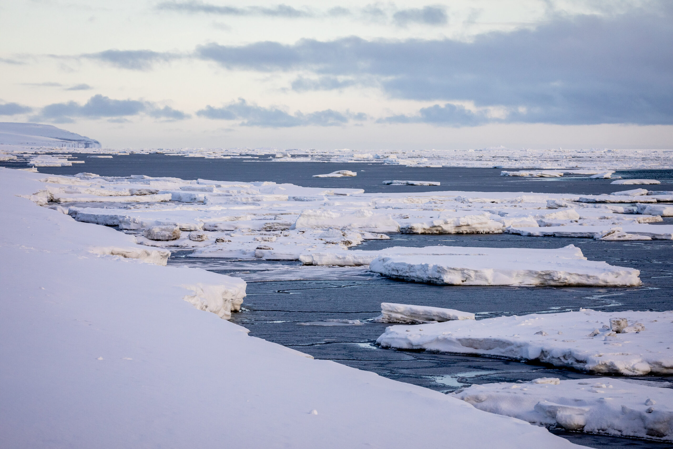
Image at top: Scattered coastal sea ice along the shore of Nome in March, 2019 (a sight more typical of May than of March). Photo: David Dodman, used with permission.


