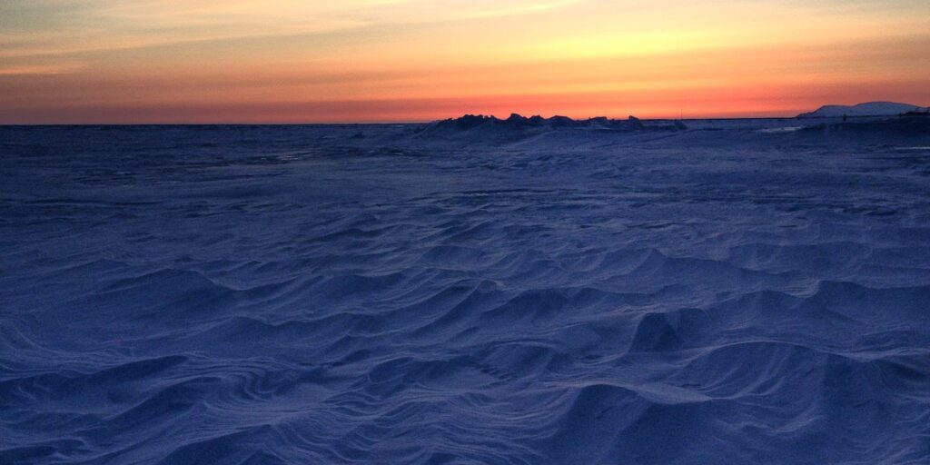
Sea ice in the Bering Sea has reached what would usually be considered a normal extent for this time of year, and that bodes well for Western Alaskans who are using the ice for snowmachining or subsistence purposes.
Rick Thoman, a climatologist with the Alaska Center for Climate Assessment and Policy (ACCAP), says as of February 14th, the entire Norton Sound is ice-covered, with some breaks in the ice here and there.
“And those will get moved around with the wind, but at this point we don’t really have anything that would be described as open water. And unlike the last couple of years, we have pretty thick ice in southern Norton Sound as well, and that is all a big change from the last couple of years and good news for the region.”
Following a stretch of several sub-zero days with colder wind chills, the Bering Sea near the Seward Peninsula saw a sizable boost in sea ice growth. Thoman says not only did the extent improve, but so did the ice thickness.
“Over the past week, big changes in thickness with thicker ice throughout much of the area west and south of St. Lawrence Island, and that is potentially very good news for the spring subsistence activities, especially with that ice west of St. Lawrence Island in the Gulf of Anadyr.”
Looking ahead, Thoman says it is unlikely that a stormy pattern will occur in the Bering Strait region anytime soon, however, even if a storm does hit the region, the currently thicker sea ice will always be more resistant than last year’s ice was at this time.
It’s still important to be cautious out on the ice, as conditions can worsen in a small area, in a short period of time. Thoman urges residents to use their local and traditional knowledge when determining when to do their subsistence activities out on the sea ice.
“Certainly we’re are in a better place than we’ve been, but conditions can change very quickly over short distances, so heads up and everyone will get through it just safe.”
The National Weather Service sea ice forecast shows lots of shore fast ice in the southern Norton Sound, with sea ice thickness increasing along the coast from Nome to Unalakleet.

Image at top: Sunset on the sea ice in front of Nome. Photo from KNOM file (2015).


