Nome and the Norton Sound region experienced a wet and mild October, with temperatures four to six degrees above average in some places.
Climate specialist Rick Thoman, with the Alaska Center for Climate Assessment and Policy, says last month in the gold rush city was the second wettest October for Nome in the past 110 years.
“A total of 4.42 inches of rain and melted snow fell at the Nome airport and that is the second highest October total since weather observations began.”

According to Thoman, overall 2019 will be in the top five wettest years for Nome, even with two months still left to go, and it could even break the top three.
“So Nome’s wettest year of record is 1922 when there was 29.5 inches of precipitation and for reference that’s just about double the long-term normal. The second place year is just under 27 inches, so we are almost there already.”
Despite the large amount of accumulated rain and melted snow this year, that doesn’t necessarily indicate more flooding in the region, as Thoman says there are several factors involved with flood conditions. However, there could be long-term changes in Western Alaska if this trend of increased precipitation continues.
“The higher rain amounts will result in changes both in the way water moves on the land and in the rivers, the hydrology, and ultimately could impact the kinds of ecosystems we have in the region.”

Now that we’re into November, Thoman emphasizes a point he’s made before, if and when the next winter storm comes into the region, while sea ice is nonexistent in the area, then Western Alaska can expect more rain and or wetter snow during that time.
According to satellite imagery Thoman referenced, there are small amounts of ice forming in Norton Bay and Grantley Harbor near Teller. But the main ice pack in the Chukchi Sea remains hundreds of miles northwest of Utqiagvik.
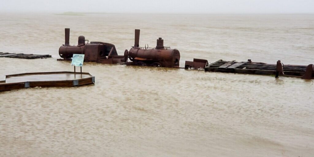
Image at top: “Last Train to Nowhere,” surrounded by water during coastal flooding, in August 2019. Photo courtesy of Lisa Leeper.


