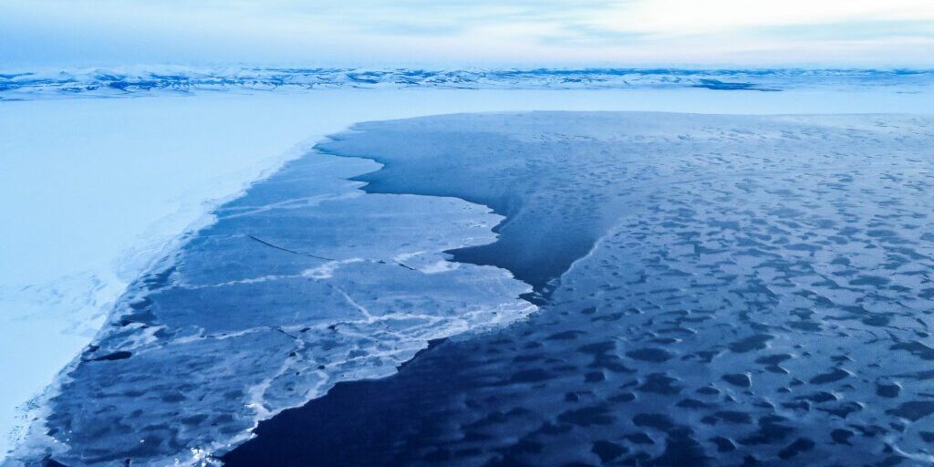
The winter Bering Sea ice pack is the smallest in 150 years.
That’s according to Climate Science and Services Manager for the Alaska region, Rick Thoman. NOAA uses several sources of data to measure the sea ice cover: community observations, aerial reports, satellite images, and low orbiting images. A model of the sea ice cycle of movement and formation over time becomes possible when this data is combined with other historical records, like ship logs dating back as far as 1850.
This year, open water near Saint Lawrence Island and the northern Bering Strait has caused damage to buildings on Little Diomede from chunks of ice thrashed onto the shore during storms. It also creates dangerous conditions for marine mammal subsistence hunting.
Several influences have exacerbated the recent shrinking and thinning of the sea ice. Average ocean temperatures have warmed for four consecutive years. A weather pattern of persistent storms and turbulent seas have prevented ice from solidifying. The absence of extended periods of cold north winds kept the ice from cramming against the shore and staying in place. Long periods of deep cold temperatures are needed to form ice, and that hasn’t happened.
In cooperation with the National Weather Service/NOAA, KNOM airs 3 daily reports of sea ice location: essential information for the many communities along 6,640 miles of Alaskan coastline.
Image at top: Wintertime shore ice near the village of Shaktoolik. Photo: Laura Kraegel, KNOM.


