Much of Western Alaska is experiencing blowing snow, howling winds, and high-water levels as winter storm conditions persist into tonight.
According to climatologist Rick Thoman, with the Alaska Center for Climate Assessment and Policy (ACCAP), this latest Bering Sea storm is expected to cause coastal erosion in the region, “for sure.” Additionally, the National Weather Service is calling for up to a foot of snow in the Nome area when all is said and done. Heavy snow is expected as well, with as much as 8 to 12 inches falling from Nome north to Pilgrim Springs.

Similar to the last storm that hit the region earlier this month, there is hardly any sea ice in the Bering Sea to minimize the damage to coastal areas. Subsequently many communities on the Bering Strait and Yukon Delta coasts, including Nome, Golovin, Nunam Iqua, and Unalakleet, could see water levels rise anywhere from 3 to 5 feet above the normal tide line.
The NWS has issued high surf advisories across the Bering Strait region, which are in effect through at least this morning in most places. NWS says any nearshore sea ice that exists in those areas will most likely be pushed onshore.
Thoman told KNOM via email that the potential light at the end of the tunnel is that more north to northeasterly winds will blow over the Bering Strait and Chukchi Sea later this week. However, Thoman says the winds still won’t be cold enough to cause the oceans to freeze up right away.
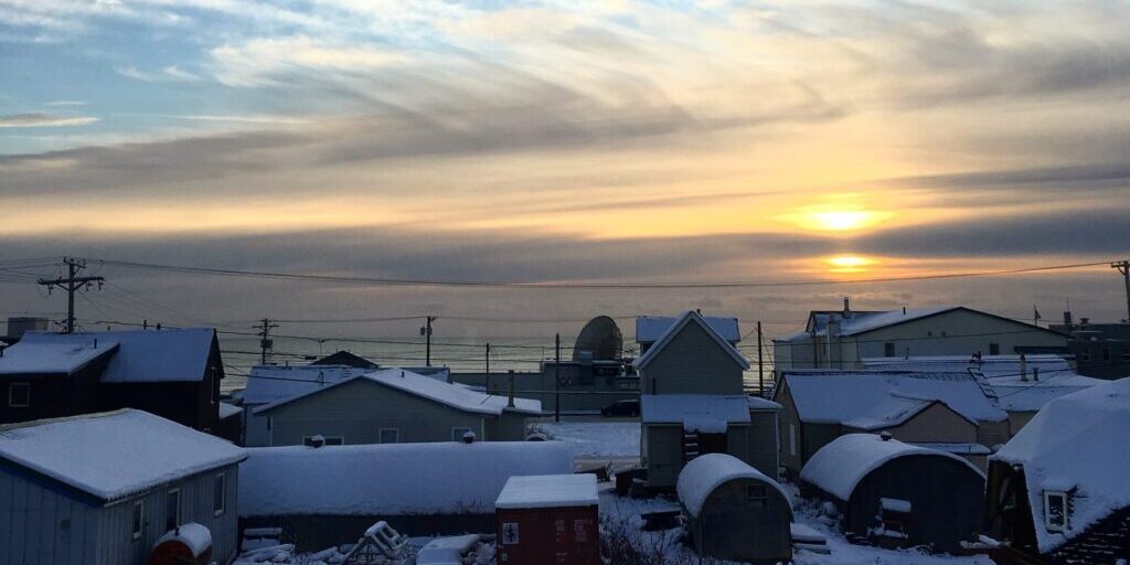
Image at top: A snow-covered 4-p.m. Nome twilight in November of 2017 (Photo from Gabe Colombo, KNOM, November 2017)


