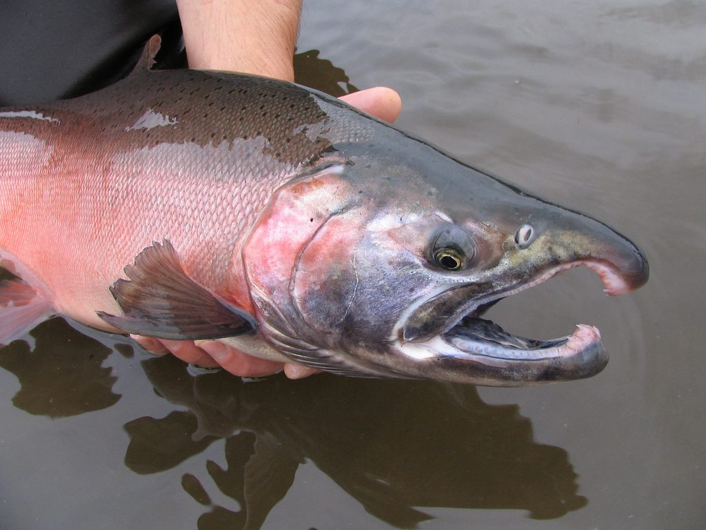
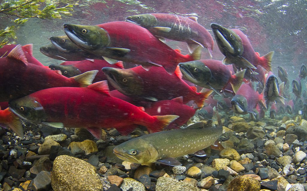
Tucked away in the remote expanses of Western Alaska, hidden streams carve through the untouched wilderness. Unique species of fish glide beneath the surface, oftentimes unnoticed and undocumented. The Alaska Fish Habitat Mapping project, more affectionately known as the “Fish Map App”, seeks to change this by documenting previously unreported migratory patterns and species.
The goal of the app is to gather evidence of fish presence in waters not currently cataloged by the state. This data is critical as it helps to expand the Alaska Anadromous Waters Catalog, which offers protection under Alaska state law to these vital habitats.
The Fish Map App is a collaboration between the Indigenous Sentinels Network and Northern Latitudes Partnership and is backed by a grant from the U.S. Fish and Wildlife Service. The app aims to crowdsource data collection on anadromous water bodies—streams and rivers where fish such as salmon migrate from the sea to spawn. With the changing climate altering fish habitats and patterns, the app hopes to document these shifts by engaging local communities, particularly in remote and underserved regions like Western Alaska.

Nyssa Russell, the Western Alaska Partnership Coordinator with the Northern Latitudes Partnership, emphasized the role that local communities play in the ongoing efforts to map and protect aquatic habitats.
“This is a way that you can directly influence potential future development projects,” Russell said.
Since many areas of Alaska lack cell service, particularly out in the field where the information captured by the app is even more valuable, the program is designed to function offline. This allows users to collect and store data while in the field and upload it once they return to areas with service.
Engagement of local communities, especially indigenous populations, is vital. Russell notes that native Alaskans possess invaluable traditional knowledge about the land and its ecosystems.
“It’s the community members, and our Alaskan native partners that are the best people to be doing this. They’re the experts,” Russell said.
The Fish Map App also offers a $100 incentive for complete and valid data submissions accepted into the catalog. The incentive is intended to help offset some of the costs associated with getting out to remote areas that are often underreported.
“Fuel is expensive anywhere in Alaska, but especially in remote Alaska off the road system. If people are taking the opportunity to purposely go out and get nominations hopefully the incentive can help offset some of that,” Russell said.
The Fish Map App can be a convenient conservation tool when used by individuals already exploring or doing subsistence activities in remote areas. With the app users can document the natural occurrences they encounter, transforming routine observations into critical data for environmental protection. With each submission, users may even have an effect on statewide policy making according to Russell.
“You can submit something to be included that actually influences Alaska state law. It’s a simple thing that you can do to really make a big difference,” Russell said.
The “ISN AWC” app is available on the iOS and Google Play app stores.