The City of Nome will soon have a new tool to track sea ice movements around the local port. Using a radar system from the University of Alaska Fairbanks, scientists and residents will be able to watch coastal sea ice form and shift up to six nautical miles away from Nome.
Andy Mahoney is a sea ice specialist with UAF’s Geophysical Institute. Nome’s coastal sea ice radar, or CSIR, will be installed on a pre-selected light pole on the west dock of the port, Mahoney said during a Strait Science presentation.
“I believe this is going to have an elevation of around 60 feet above the surrounding sea level, and that is going to give us a range comparable to what we can see in Utqiagvik,” Mahoney explained. “I think we’re going to get a real good view of the shore fast ice and the pack ice beyond, when we get this radar operational.”
Mahoney expects the Nome sea ice radar to be installed by the end of June. He hopes to better understand coastal sea ice in the Bering Sea, provide a community service for residents who will benefit from having this data, and potentially offer advantages for future military strategy in the Arctic.
This new radar system has many possible uses, including assisting with local search and rescue efforts. Mahoney says an existing CSIR in Utqiagvik was crucial in rescuing a group of whalers who were stranded on a large ice floe that broke off from the main ice pack in late April of 2014.
“Fortunately they were still on the ice when it started to come back in and they were able to be rescued by boats that were launched from the newly opened up edge of shore fast ice near the beach. In this occasion, the radar data was actually used by the local search and rescue team in Utqiagvik,” Mahoney said. “And during the event we were trying to coordinate with them to provide them the most up to date data as possible.”
This data was even more important in that incident since poor visibility and strong winds prevented a helicopter from being used in the SAR efforts. All crew members and gear were recovered successfully, Mahoney said.
Nome’s CSIR will be similar to Utqiagvik’s. The radar will give updates roughly every four minutes on sea ice movements, velocity, and potentially give a warning before break-up begins. This radar imaging equipment can also detect wave swells and wave motions as they shift sea ice, according to Mahoney. But it is also currently undergoing further research.
This technology can even pick up wildlife movements, such as seabirds or caribou.
“I believe we might be able to convince caribou biologists that there’s use in these radar data for tracking caribou herds as well,” Mahoney stated. “We also see birds show up and bird detection by radar is a very well-established science. We do sometimes see those, particularly this time of year (May), following the lead edge (of sea ice will be) flocks of ducks and geese going by.”
The UAF Geophysical Institute is also looking to set up three more radar sites somewhere along the Bering Strait coast. The Bering Strait communities Mahoney’s team is considering include Gambell, Savoonga, Shishmaref, Wales, Unalakleet, Deering, Kotzebue, Kivalina and Point Hope.
In order to host CSIR equipment, a community just requires a location with AC power, internet access, and a structure that’s up to 75 feet high.
To share recommendations on where to set up new sea ice radar sites, contact Andy Mahoney via email: armahoney@alaska.edu.
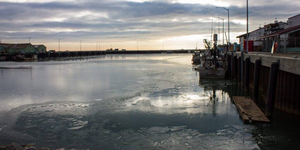
Image at top: Nome’s small boat harbor begins to freeze over in October of 2014. Photo: Francesca Fenzi, KNOM (2014).


