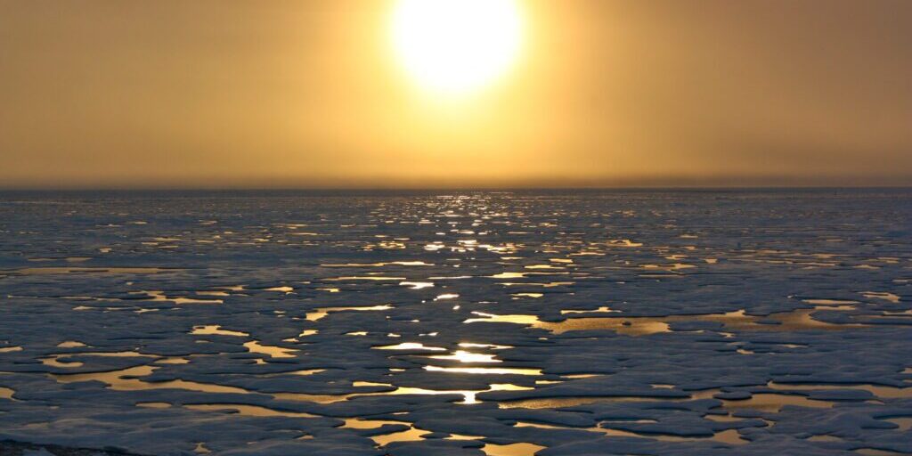
With a poor start for ice forming in northern Alaska waters this season, the latest climate forecasts predict sea ice may not reach Western Alaska until December.
According to the National Weather Service, sea ice has started to form along the upper coast of the North Slope on the Chukchi side, as well as in several places throughout the Beaufort Sea. However according to climatologist Rick Thoman, the Chukchi Sea currently has the least amount of ice its ever had.
“Here in Western Alaska I think the most common question is: where is the sea ice at? And it’s still very far north, we’re at record low sea ice extent in the Chukchi Sea, near record low in the Beaufort Sea.”
Thoman is a climate specialist with the Alaska Center for Climate Assessment and Policy (ACCAP) and has been studying climate data and models for decades. When it comes to sea ice, he says what used to be normal for the past 30 years, those conditions no longer exist.
For example, according to Thoman having sea ice in the Bering Strait region in November was not uncommon at all in past decades. But this season, Thoman says Nome may not even see ice in November.
“Farther west as we move west of Nome and the influence of the Chukchi Sea becomes greater, there it looks like it’s going to be a very late freeze-up. Right now, I would not expect that we would have any significant ice in front of Nome before…probably Thanksgiving at the earliest, and could well go later than that. For the area between Diomede and St. Lawrence Island, we’re probably looking at ice (in the) second half of December”
And with the anticipated late formation of sea ice in currently open Alaska waters, like the Bering Sea, Thoman says that relatively young ice will likely be thin by February.
“That means that by the time we get to February, that ice will have only been growing for six weeks, maybe less in some places, and that young of ice can’t be that thick. And we certainly saw that last year when we had the lowest average ice extent of record for the month of November in the Bering Sea”
If that is the case this winter, then Thoman anticipates seasonal storms disrupting the ice and impacting coastal communities as it has the last two years around February and March.
In addition, the region and the state will experience more this season than just late sea ice. According to the National Oceanic and Atmospheric Administration’s recently released winter outlook, Alaska can expect warmer and wetter conditions in 2020.
“So what we have from NOAA’s Climate Prediction Center, all winter long starting in November and continuing right to spring, is that the odds favor significantly warmer (temperatures) than that 30-year average. That’s not surprising given where we’re at with sea surface temperatures and very late, very low sea ice”
– Rick Thoman
And with the warmer winter ahead, Thoman warns Western Alaskans not to put away their snow shovels just yet. NOAA’s forecast also calls for increased chances of above normal precipitation levels during the colder months.
Image at top: Arctic waters seen from the U.S. Coast Guard Cutter Healy. Photo from the NASA Goddard Center (2011).


