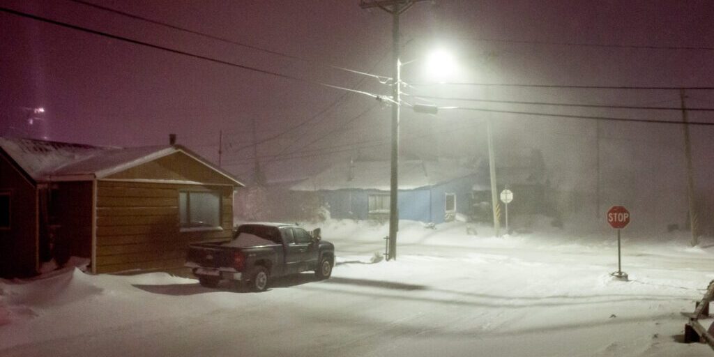
It’s expected to be a weekend of exceptionally stormy weather in western Alaska, the National Weather Service projects. The blizzard and storm system currently affecting Bering Strait and Norton Sound communities is expected to diminish on Saturday morning, but a second storm system is forecast to arrive soon thereafter, bringing strong winds, a continued mixture of snow and rain, and a renewed risk of coastal flooding on New Year’s Eve and New Year’s Day.
Communities from the Yukon Delta to the Arctic Circle can expect the blizzard of the past several days to intensify on Friday afternoon, weaken on Saturday, then intensify again overnight into Sunday, with low or near-zero visibility, strong winds, and a few inches of new snow, mixed with rain or ice in places. The high wind speeds may break apart Bering Sea ice and make it “mobile,” the forecasts say, potentially pushing ice up onto the shore.

Coastal flood warnings are currently in effect, through Saturday morning, for these NWS weather zones: the Yukon Delta (including Mountain Village, St. Mary’s, and Emmonak), St. Lawrence Island and Bering Strait Coast (including Gambell, Savoonga, Wales, Teller, and Brevig Mission), Eastern Norton Sound and Nulato Hills (including Unalakleet, Stebbins, St. Michael, Koyuk, and Shaktoolik), and the Southern Seward Peninsula Coast (including Nome, White Mountain, and Golovin).
In all of these zones, the Weather Service says, “rising sea water that causes flooding is expected.” The first of the two storm surges (Friday evening into Saturday) is expected to be up to 7 feet along the coast of the Yukon Delta, up to 8 feet around St. Lawrence Island, and up to 9 feet in the Eastern Norton Sound and Southern Seward Peninsula Coast. The second system, intensifying Saturday night into Sunday (New Year’s Eve into New Year’s Day), will bring 40-60 mph winds, depending on location, and a storm surge that will coincide with high tide.
Some of the most severe conditions may occur on St. Lawrence Island. Friday’s forecast for the Island calls for a mixture of snow and rain, with wind gusts up to 75 mph. As reported earlier this week, the Weather Service notes a particular risk for Gambell, reiterating that “the runway and other low lying areas near Gambell may become inundated. Ice may be lifted by rising water, and minor flooding is possible in low lying coastal areas along the Bering Strait coast. Ice may also push onshore.”
Western Alaska residents are urged to take action to protect life and property and to err on the side of caution. Outdoor travel is not recommended during inclement weather of this magnitude. Whenever possible, KNOM’s hourly weather forecasts and emergency weather notices on 96.1 FM and 780 AM* will contain the latest updates.
*As of Friday afternoon, KNOM’s AM signal has been intermittent due to a power outage related to the ongoing blizzard. Weather zone forecasts and warnings — the same KNOM uses in its forecasts — can be found on the National Weather Service’s website for Alaska. This link, in particular, contains the forecasts for the weather zones KNOM covers.


