The National Weather Service (NWS) is considering restructuring the marine zones in their Alaska Marine Weather Forecast and is looking for public input on what those zones should look like.
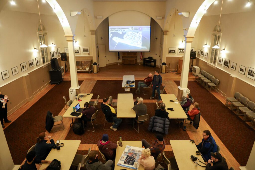
Erin Billings is a meteorologist with NWS, and addressed the Nome Port Commission in their February 20, 2020 work session.
“How far should we take those zones. How far off-shore? What would be good break points and basically what are the concerns?”
-Erin Billings
Billings says the current zones are large, and their weather models show fluctuating weather patterns within each zone. To forecast, NWS essentially has to summarize all that data in just one sentence. It could be more useful for mariners and aviators, Billings suggests:
“It would be more reflective of what you’re seeing out there.”
NWS thinks smaller zones could give mariners and aviators a more accurate picture of what’s going on. A diagram of what Zone 200, the Norton Sound, might look like was shown to the Nome Port Commissioners at the meeting last month.
The current region extends from Nome down to Stebbins, but this new diagram proposes breaking the region down into coastal zones, and then the larger interior portion of the Sound.
There are no firm plans to make changes right now, but Nome Harbormaster, Lucas Stotts, thinks re-structuring the zones could help simplify how he makes plans at the Port of Nome.
“… if it’s anything from the South I immediately need to zoom way out to zone 210: Dall Point to Wales, because I care about waves typically and how that’s going to affect the facility and off-shore and operations here. Instead of me having to reach to something as way far out as Wales, I could compare Norton Sound with the Nome area.”
-Lucas Stotts
Only one community member from Nome attended the work session and offered feedback. Billings explains that they’ve had talks in Utqiaġivik in the North Slope Borough and would like to meet again in Nome and throughout the Bering Strait Region. Those meetings have yet to be planned.


