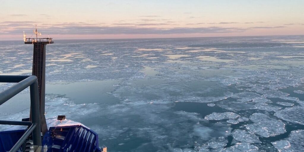
Winter usually means a lot of ice for coastal Alaska, but ocean currents near the equator could mean things are looking different this season.
Brian Brettschneider, a climate researcher with the National Weather Service, said El Niño is causing warmer water temperatures across the state, causing delayed ice formation along the Bering and Chukchi Seas.
When speaking Brettschneider earlier this week, KNOM’s Ava White was curious, what really is El Niño, and what does it mean?
This transcript has been lightly edited for clarification purposes:
BB: “In an El Niño year, the east to west trade winds in the Central Pacific kind of collapse. And so you end up with little to no trade winds, even sometimes a reversal of the trade winds. That just allows those waters to sit there and absorb more and more solar energy. It’s important because warm tropical oceans are the energy source for tropical thunderstorms. These storms go up 10s of kilometers into the sky. It literally forces a new wind regime. That has what we call downstream effects, where if you all of a sudden, drastically change the winds and one part of the atmosphere, it’s gonna affect other parts of the atmosphere as well.”
AW: “Overall ocean temperatures have been rising, but are there any observable changes in the rate that sea ice is melting during El Niño years compared to either a neutral year or maybe a La Niña year?”
BB: “The components of El Niño and La Nina and sea ice trends are extremely difficult. The really difficult part is that sea ice has been shrinking so dramatically the last three decades. It’s hard to tell because it’s just shrinking so dramatically. In all years, but especially El Niño years, we see a deep southerly flow across the Bering Sea and mainland Alaska. That deep southerly flow does three things: It brings in warmer air from the south, because that’s where the wind is coming from. It’s moving warmer water from the south, because the air pushes the warmer water northward and it also compacts the ice.
AW: “What are you seeing so far this year in terms of sea ice? Is there anything that’s standing out to you?”
BB: “It’s slowly filling in but the warm waters and southerly wind is just making it hard for the Chukchi Sea to freeze up. That was very much expected. We’re starting with warmer temperatures, warmer sea surface temperatures which are just harder to freeze. If it used to be 34 degree water that you started with, you only had to cool it. Well, now if you have 36 degree water, you have to cool it three times as much to get to freezing. It just takes a lot longer.”
AW: “Beyond the Arctic, are certain regions or areas of the state more vulnerable to the effects of El Niño?”
BB: “Generally the strongest impacts or the strongest relationships between El Niño and warmer temperatures are along the north Gulf Coast. So say from Kodiak, southcentral, and then down through Southeast Alaska. Almost every time there’s an El Niño winter, it’s warmer than normal. Most times it’s warmer than normal in the rest of the state but you can still have cooler than normal winters occasionally in say the interior part of the state and El Niño, not very common, but it’s more possible than it is along the Gulf Coast.”
AW: “Thank you so much. Was there anything else you wanted to add?
BB: “No, that’s all, those are the highlights for sure.”
Photo at top: By Seth Danielson onboard the Sikuliaq as it traveled north in the Chukchi Sea during November, 2021. (Photo from Seth Danielson, in public domain via Facebook)


