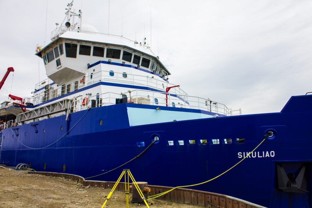
The National Oceanic and Atmospheric Administration (NOAA) has launched an innovative survey in the Bering Sea, utilizing artificial intelligence (AI) to count and differentiate between various seal species.
The lead on the project, Erin Moreland, has been working in the Bering and Chukchi Seas since 2007. The survey originally employed traditional observer methods using helicopters based on ships. However, this approach presented safety concerns and logistical challenges.
“We tried helicopter surveys in 2007 and 2008, but it was difficult to get the coverage we needed,” Moreland said. “The icebreaker ship moved slowly through the ice, and the survey window was complicated by melting and shifting ice.”
In 2012 the team switched to using King Air and Twin Otter fixed-wing aircraft. The specialized planes are equipped with modular bays in the floor for research teams to easily swap in their own unique set of instruments. For the seal survey project, Moreland’s team is using an array of ultraviolet, thermal, and color cameras. There are three of each camera type angled in various downward directions to increase the width of the survey area.
The thermal camera is uniquely suited to spot warm seals against the stark contrast of cold ice while the color camera is useful for identifying details like skin color and spots that can differentiate species. The newest addition, an ultraviolet camera, is particularly useful for spotting animals that may have recently taken a dip in the cold water before hopping back onto the ice.
Making the project faster–and less resource intensive–is a custom-coded machine learning model that has been integrated with an easy to use graphical user interface (GUI). The open-source model was born out of a Microsoft hackathon and is now a critical component of Moreland’s project.


The model quickly evaluates each of the three camera’s exposures, determines if there may be an animal present, and even attempts to identify the species. When an animal isn’t detected the model deletes the exposure, saving both hard drive space and time spent reviewing the photos later. Whereas in the past, Moreland would spend her evenings deleting empty photos, now she can skip straight to the good part.
“It is always really mind blowing to just look at a bunch of detections in the thermal imagery, and be able to really quickly look at the animals on the ice. I was able to do that in Nome each night and it would be hard for me to shut it down and go to bed at night because it was right there at my fingertips.”
- Erin Moreland, National Oceanic and Atmospheric Administration
Moreland and a small team from NOAA arrived in Nome at the end of May to test critical systems for a full-scale survey next year. Their plans include conducting simultaneous surveys of the Bering, Beaufort, and Chukchi Seas next year, a feat Moreland says has never been attempted before.
With help from their new machine learning tool, Moreland is confident they will be able to get it done.
“It’s satisfying to see the ease that technology has brought to our work,” Moreland said. “It allows us to focus on solving important ecological problems and ensures that our efforts are both efficient and effective.”