Update 06/19/2024: The size estimate of the fire has been expanded to 7,421 acres. Six smokejumpers worked on the Goldbug Fire (#130) for two days to keep it north of the Kugruk River. After it stalled due to natural barriers, the smokejumpers demobilized Sunday and were redeployed to the Alagnak River (#144) fire in Katmai National Park.
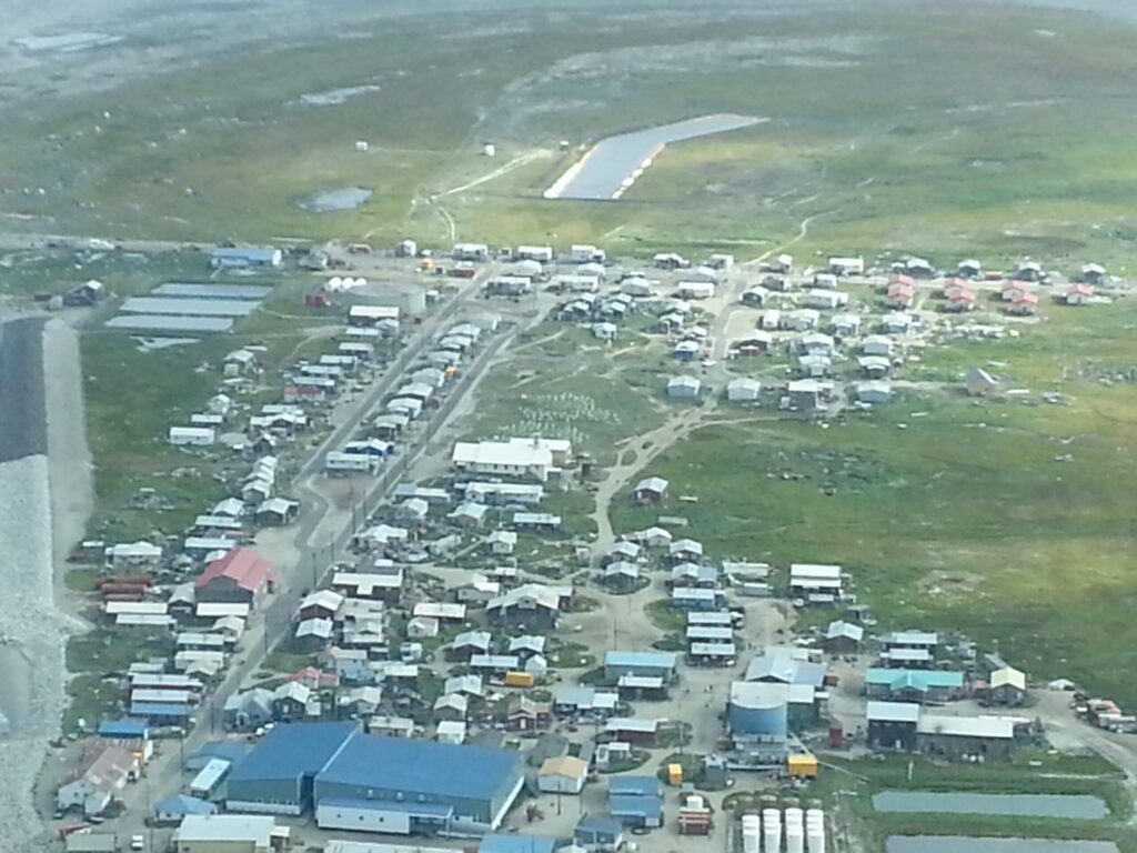
The Goldbug Fire, located about 25 miles south of Deering, has rapidly expanded to 4,633 acres as of the morning of June 15. Alaska Fire Service has mobilized a crew of six smoke jumpers to provide protection to a mining site just one quarter mile from the fire’s edge.
At this time the BLM believes lightning is to blame for the fire.
Winds in the area recently shifted, prompting the fire to be reclassified from a “backing fire” to a “wind-driven fire”. This type of fire moves much faster in the direction of the wind, increasing its intensity and the area it can cover. This led the area of the fire to balloon from about 300 acres on June 13 to over 4,500 on June 15.
The blaze is the largest wildfire on the Seward Peninsula since 2019. That summer saw several rounds of June lightning storms singe the landscape, including the 43,000-plus acre North River Fire #218 near Koyuk.