In Wales and Shishmaref, two new high-frequency radar sites are collecting important data about the Bering Sea’s ocean currents. That data could help track debris, improve weather forecasts, and even save lives.
By transmitting radio waves that bounce off the ocean, the measurements show not only the direction of ocean currents, but also the speed. The information is expected to help oil spill response, search and rescue operations, and more.
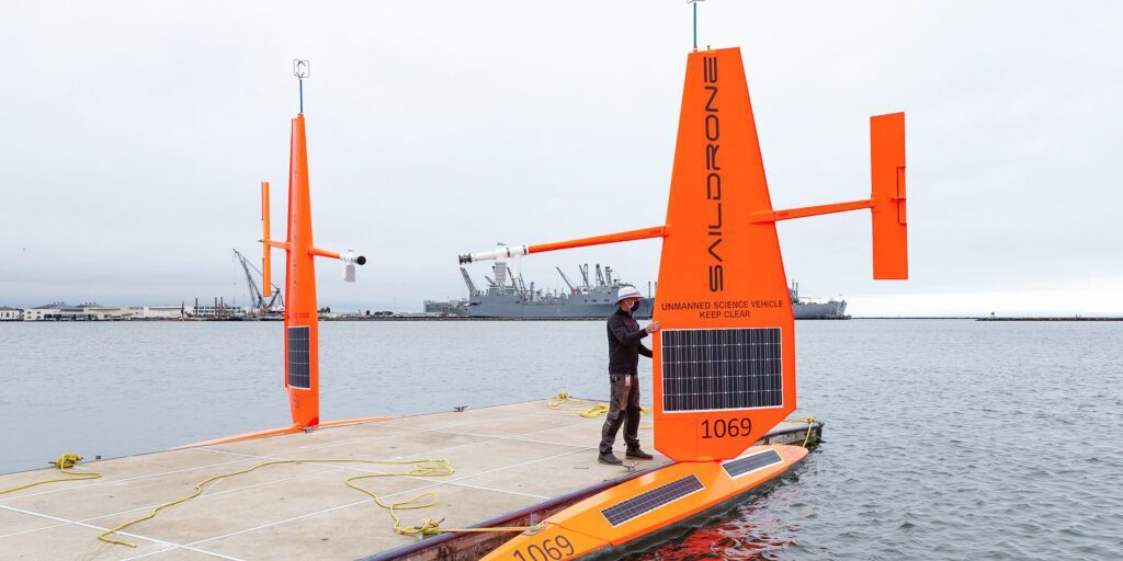
Out in the Bering Sea, unmanned sailing drones are mapping the ocean floor. Due to Alaska’s travel restrictions the drones began the journey north in San Francisco, surveying the waters around the Norton Sound and all the way up to the coast off Alaska’s North Slope. Keeping them unmanned improves safety, particularly in high-risk situations like storms.
“They’re entirely wind driven sailboats, no engine or props; they are entirely at the mercy of the wind and current. As a result, they’re slow, normally only two to three knots, but they are incessive. They go for 24/7, for weeks or months at a time. It’s amazing what you can accomplish at two or three knots if you never stop,” the program manager for TerraSond, Andrew Orthman, told listeners.
Image at top: An unmanned surveying drone is inspected in California before launching it Nomeward.


