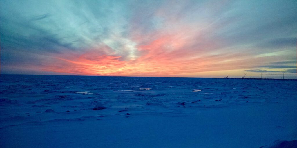
Despite sea ice pack in Alaska’s coastal waters being well behind the average during November and December, recent weather has brought the sea ice edge to near-normal levels. The mass of sea ice butting against Alaska’s shore in some places extends from around St. Matthew Island in the Bering Sea and into the Beaufort Sea.
Matthew Clay, a sea ice analyst for the National Weather Service in Anchorage, says the state’s current sea ice amount is only about 20-30 miles short from the thirty-year average; that’s a slight increase compared to last year’s ice edge. He further elaborated that the series of cold high pressure systems, light winds, and cold temperatures we’ve seen for the last month and a half or so has allowed the ice edge to actually catch up to near normal. “Our sea ice edge right now should be right around St. Matthew Island,” Clay said. “[Now] it’s only about 20-30 miles away.”
When it comes to the formation of sea ice, those high pressure systems are important. Clay says high pressure systems in late December and January brought prolonged colder temperatures that, in combination with light winds, helped create sea ice. He adds that strong winds can also create waves that break sea ice apart. “Light wind just allows the cold sea ice temperatures to remain stable and for sea ice to not be broken up between the waves.”
According to the map found on the National Weather Service’s website, most sea ice along Alaska’s coast is first year thin, first year medium, or young ice. Depending on the condition of the shore-fast ice, subsistence activities can prove dangerous, or the ice can provide inadequate habitat for marine mammals. Clay says thin shore-fast sea ice around the peninsula earlier in the season may have negatively affected Alaska Native hunters’ ability to hunt marine mammals.
To forecast the creation of sea ice, meteorologists look at weather patterns that might bring high pressure zones and low temperatures.
Current predictions from the National Weather Service stated moderate confidence that the main ice pack from the Bering Sea region will reach Saint Matthew Island this week — or, if weather is too warm and stormy, predictions say it could be another three weeks.


