Last week’s record-breaking warmth was interesting for the Bering Strait Coast, but Bob Ten Eych with the National Weather Service in Nome says have no doubt: winter is certainly coming.
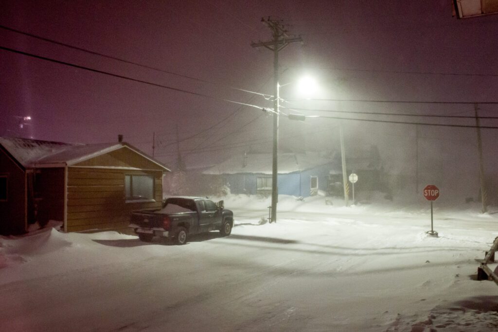
“We did have a couple of cold fronts come through in the past few days, which has dropped temperatures down to 5 or 6 degrees. We’re starting to segue more into our normal climatology,” said Ten Eych. “Any precipitation we get in the next week or so is definitely going to appear in the form of snow, and this snow will probably stick around. This’ll probably be our base coat for the winter.”
Ten Eych said the reason for the warmth was a high-pressure system from Canada that spread across the southern part of Alaska and brought a southeast flow of warm air up to our region. And with super typhoon Nuri in the west pacific, warm air from Hawaii was drawn up into the southeast flow.
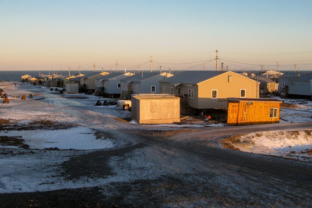
During those six balmy days from November 13 to 18, four days shattered the previously recorded highs, most notably on November 18, when Nome’s 43 degrees surpassed the 1977 record high of 35.
Ten Eych said it was an unusual occurrence, but fits the unpredictability of Alaska weather he’s become familiar with over 25 years as a meteorologist in the state.
“When I first got here, I’d say, ‘Well, okay, I see all this stuff but why does it happen?'” Ten Eych used to ask. “‘Oh, it’s Alaska,’ [someone would respond]. I said, ‘Dude you’re gonna have to do better than that.’ And after 25 years, if somebody asks me why it happens… ‘It’s Alaska.'”
With the high-pressure system weakening as it moves to the north, it’s likely Nome will see a white Thanksgiving this year as temperatures sink back down to the teens.
“Again, once that thing moves out of the area, we’ve got nothing but cold air behind it,” he said.
And with slush beginning to form out at sea, Ten Eych said it shouldn’t be long before we wake up to a frozen Norton Sound.


